 />
/>
Achik-Tash
The Gateway to Lenin Peak and the Heart of the Alay Valley
/>
The Gateway to Lenin Peak and the Heart of the Alay Valley
Explore Achik-Tash, a stunning high-altitude plateau and the starting point for treks to Lenin Peak, one of the world’s most accessible 7,000-meter peaks.
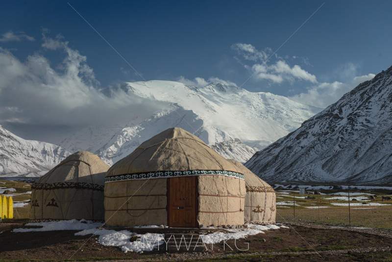
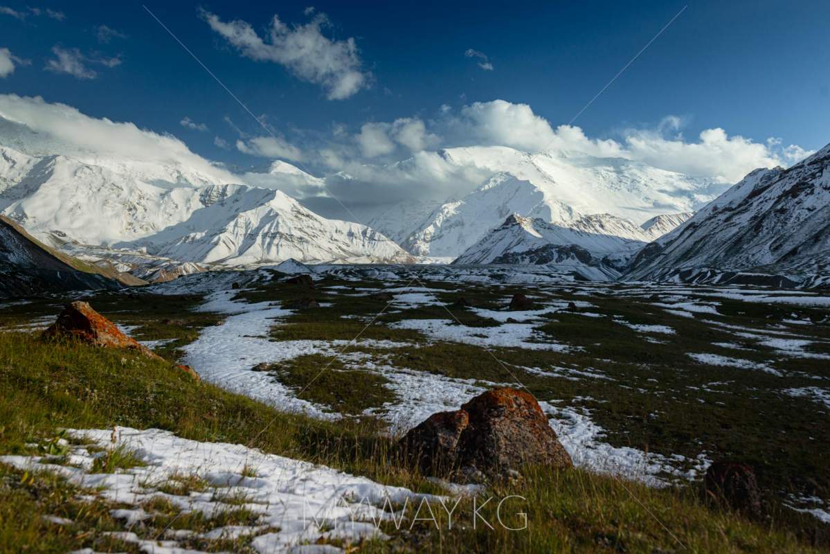
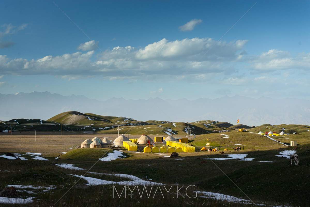
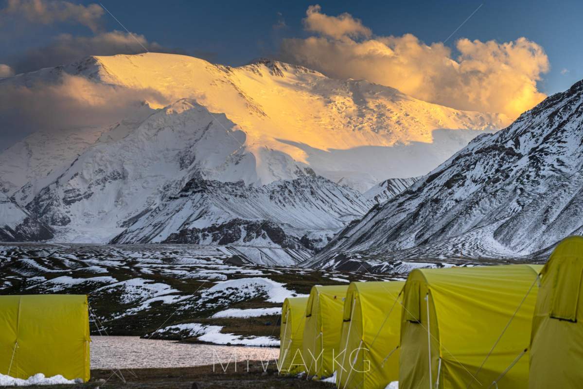
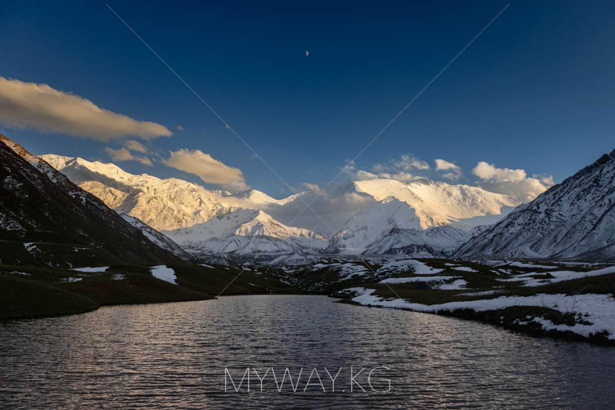
Achik-Tash is a breathtaking high-altitude plateau located at 3,600 meters in the Alay Valley of southern Kyrgyzstan. It serves as the base camp for Lenin Peak (7,134 meters), one of the most accessible 7,000-meter peaks in the world. This remote yet vibrant destination attracts mountaineers, trekkers, and nature enthusiasts who come to experience the raw beauty of the Pamir Mountains and the rich culture of Kyrgyz nomads.
Lenin Peak, known locally as “Zhel-Aidar” (Lord of the Wind), was first described by Russian explorer A.P. Fedchenko in 1871. The first successful ascent was made by German climbers Karl Wien, Eugen Allwein, and Erwin Schneider on September 25, 1928. Today, it remains one of the most popular peaks in the Pamirs, drawing climbers from around the globe.
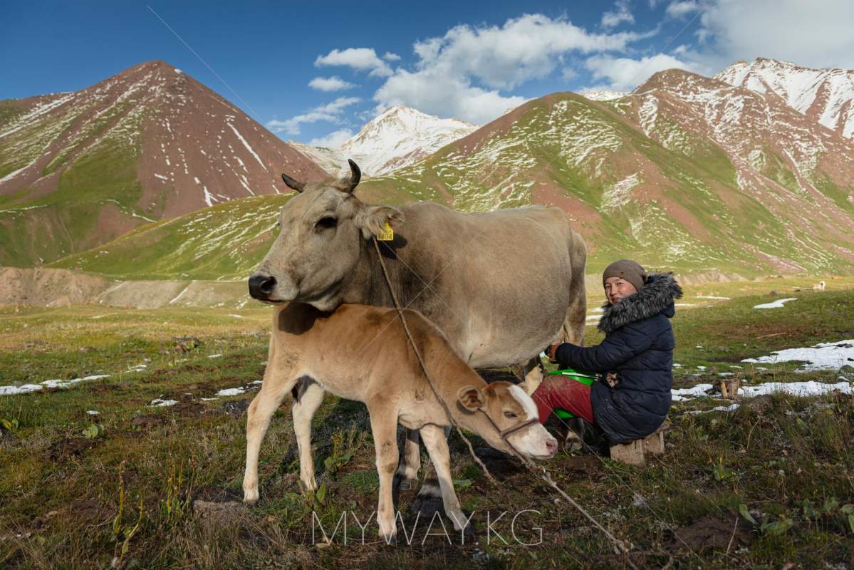
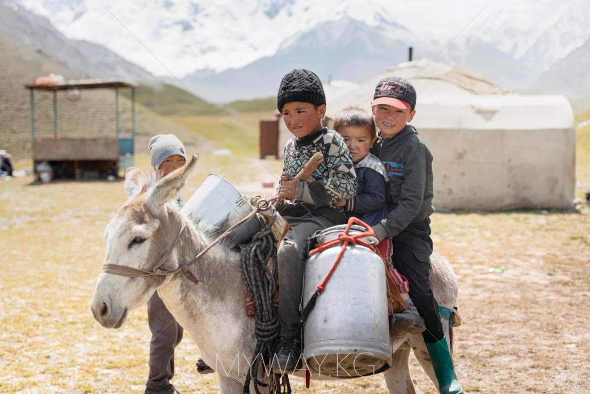
The Alay Valley has long been a vital route on the Silk Road, connecting East and West. Local legends speak of hidden treasures guarded by ancestral spirits and the protective power of the mountains. For centuries, Kyrgyz nomads have lived here, preserving their traditions and offering hospitality to travelers.
Achik-Tash and its surroundings are a paradise for nature lovers, offering:
Achik-Tash sits at 3,600 meters above sea level, with a sharply continental climate:
Due to the high altitude, visitors may experience symptoms of altitude sickness, such as headaches or dizziness. Proper acclimatization and hydration are essential.
Achik-Tash is one of the most accessible base camps for high-altitude adventures. Facilities include:
The best time to visit Achik-Tash is June to September, when the weather is mild, and the base camp is accessible. During this period, the trails are open, and the natural beauty of the region is at its peak.
Best Time to Visit
June–September (mild weather, accessible trails)
Temperature Range
Summer: 10–20°C (day); 0°C (night); Winter: Down to -30°C
Altitude
3,600 meters above sea level
Distance from Osh
~300 km (5–6 hours to Sary-Mogol; 1.5–2 hours to Achik-Tash)
Road Conditions
Paved to Sary-Mogol; dirt road to Achik-Tash (4x4 recommended)
Infrastructure
Yurt camps, hot meals, equipment rental, guided tours, medical station
Recommended Gear
Warm clothing, trekking boots, sun protection, water, and snacks.
Safety Tips
Acclimatize properly, stay hydrated, and consider hiring a mountain guide.